
Suchitepequez
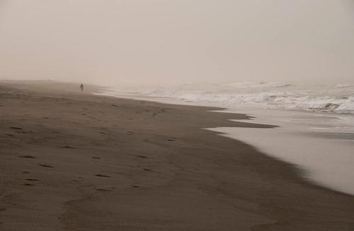
Suchitepequez, Guatemala offers 3+ beaches along its 62.1 miles (100 kilometers) of coastline. Suchitepequez has a number of beach options for every type of traveler. Suchitepequez is a popular travel destination with over 1,200,000 annual visitors in addition to its 555,000 residents. Suchitepequez is known for its vibrant traditional markets, rich Mayan cultural heritage, and scenic coffee plantations.
Suchitepequez has 2+ beach cities, offering a variety of beach destinations for travelers seeking either a popular hotspot or a secluded beach vacation.The best time to travel to Suchitepéquez, Guatemala, is from November to April, with average air temperatures around 25°C (77°F) and water temperatures near 28°C (82°F). Suchitepéquez, Guatemala does not have a hurricane season but has a wet season that lasts from May to October with average rainfall of 10-15 millimeters per day. Sandee provides detailed maps, photos, and reviews from fellow beachgoers to help you Choose Your Beach™ and plan your perfect beach vacation!EXPLORE TOP DESTINATIONS