Sandee logo Blue
  • Countries
  • Blogs
  • Map
  • Nude Beaches
  • Sharks
  • Beach News
Sandee logo Blue
Home
Countries
Blog
Map
Nude Beaches
Sharks
Beach News
Sandee logo Blue
instagramfacebooktwitteryoutube
Choose Your Beach! TM
  • Explore

  • Countries

  • Nude Beaches

  • Best Beaches

  • Sitemap

  • Company

  • About

  • Press

  • Mr. Beach

  • License Our Data

  • Legal

  • Privacy Policy

  • Cookie Policy

  • Terms and Conditions

  • Community

  • Beach News

  • Contact Us

  • Save Our Oceans

Explore
Company
Legal
Community

© 2025 by Sandee, LLC.   All rights reserved.

Sandee - HomePage / Juan de Fuca Electoral Area

Juan de Fuca Electoral Area

Home >  All Countries  >  Canada  >  British Columbia  >  

Juan de Fuca Electoral Area

Juan de Fuca Electoral Area

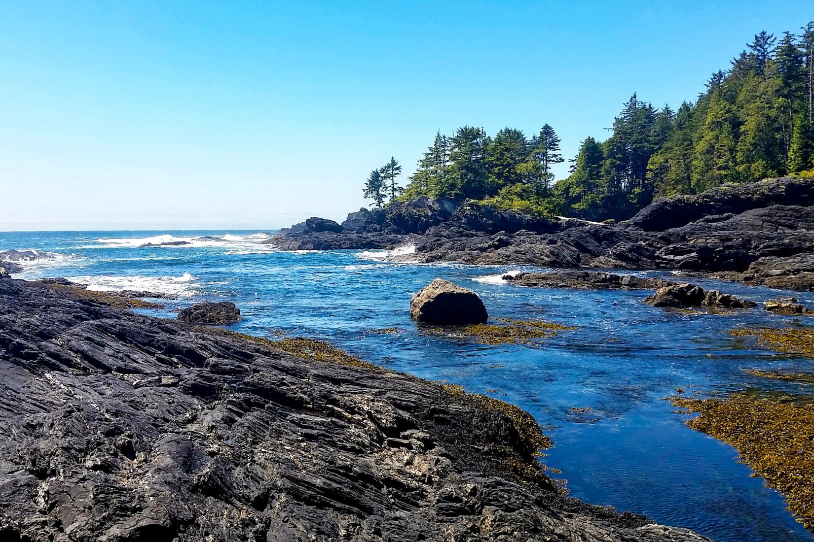
Juan de Fuca Electoral Area, Canada offers 7 beaches perfect for sunbathing, surfing, swimming, and more. Juan de Fuca Electoral Area is known for the Juan de Fuca Marine Trail and the West Coast Trail. The best time to travel to Juan de Fuca Electoral Area, Canada, is during the summer months of June to August, when the average air temperature is around 18-20°C (64-68°F) and the water temperature is approximately 12-14°C (54-57°F). Sandee provides detailed maps, photos, and reviews from fellow beachgoers to help you Choose Your Beach™ and plan your perfect beach vacation!

Map of Beaches in Juan de Fuca Electoral Area

Loading Beaches...

EXPLORE BEACH DESTINATIONS

All Beaches in Juan de Fuca Electoral Area

  • A to Z
  • Z to A